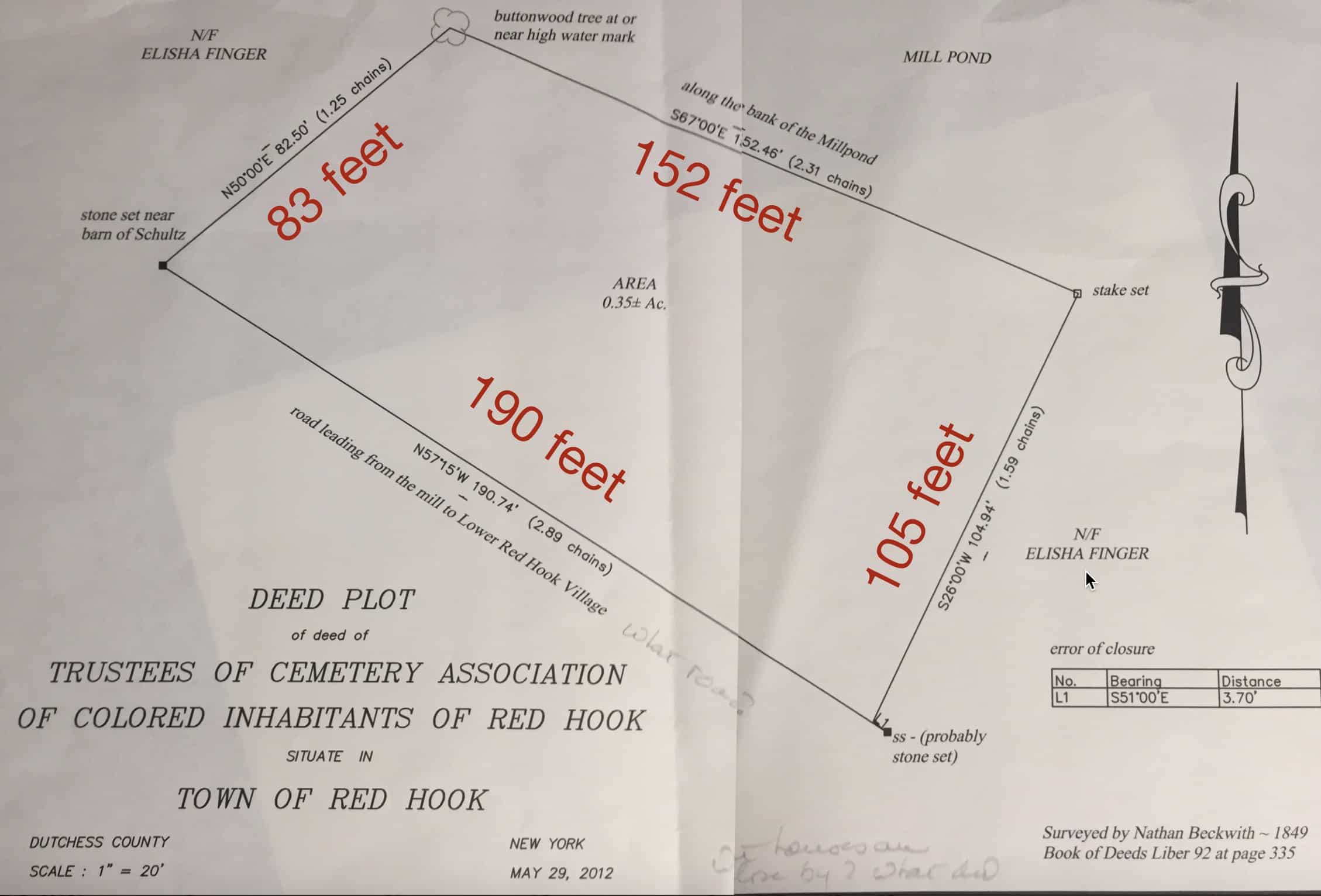
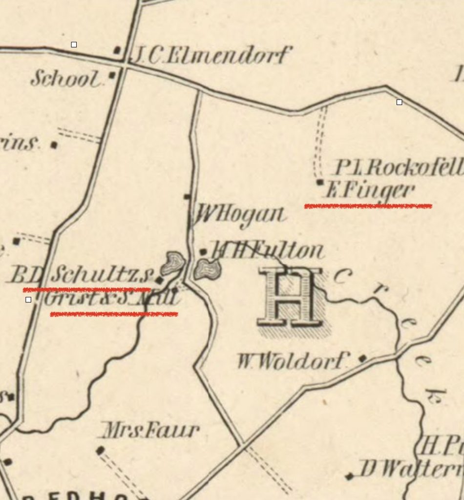
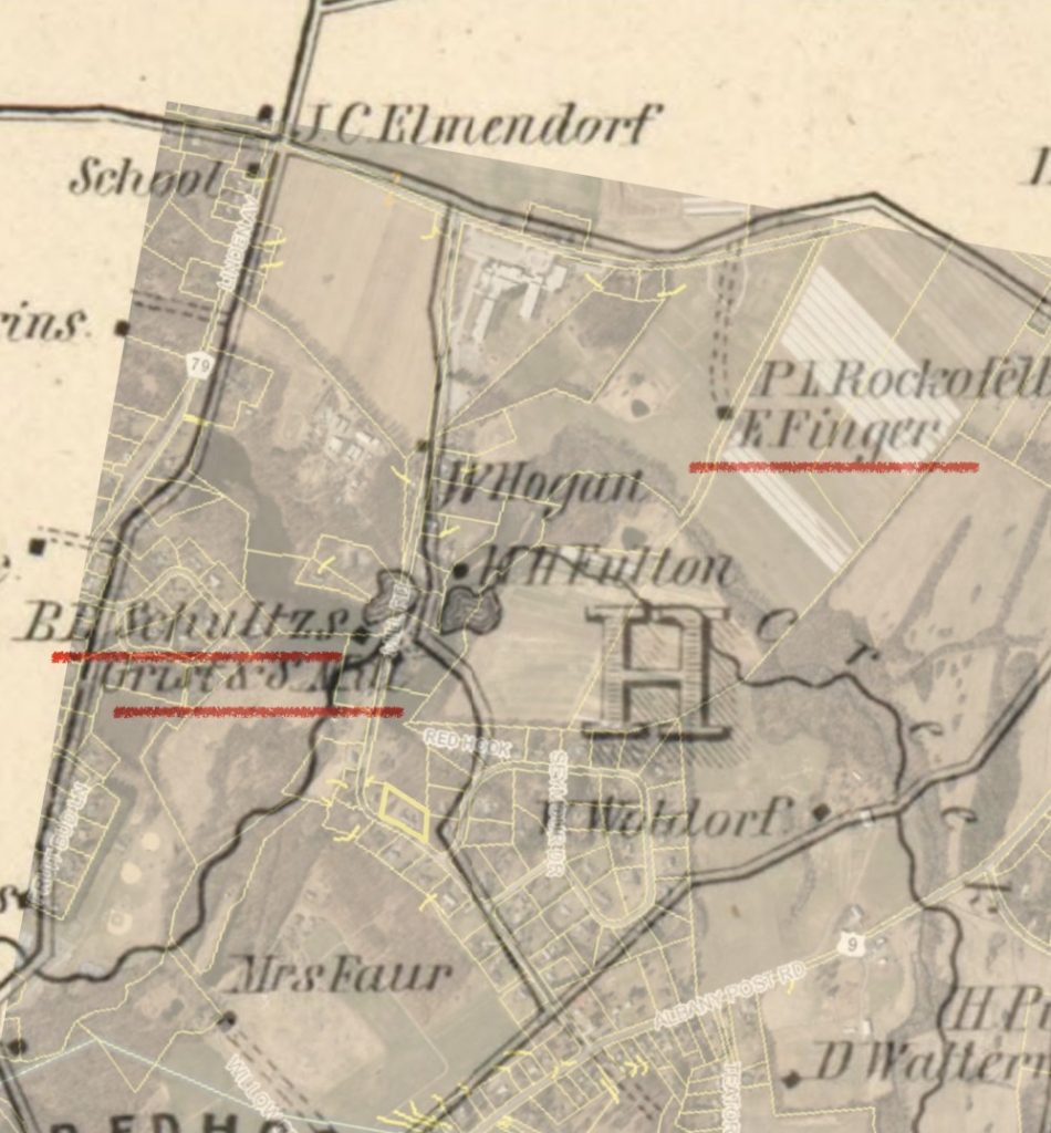
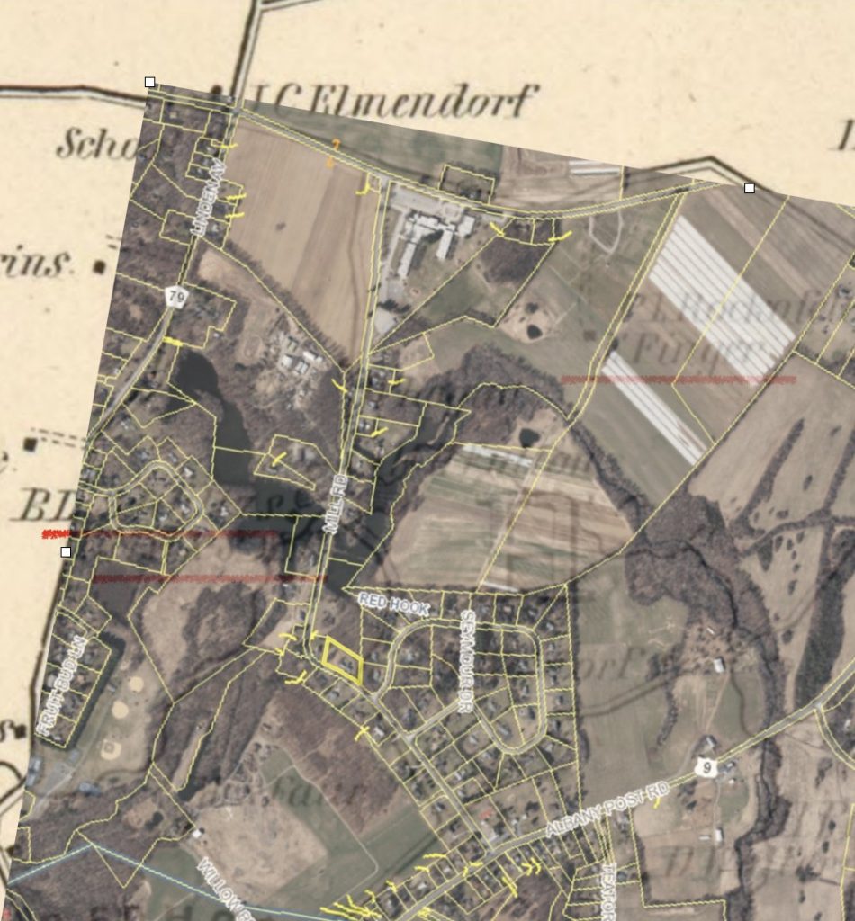
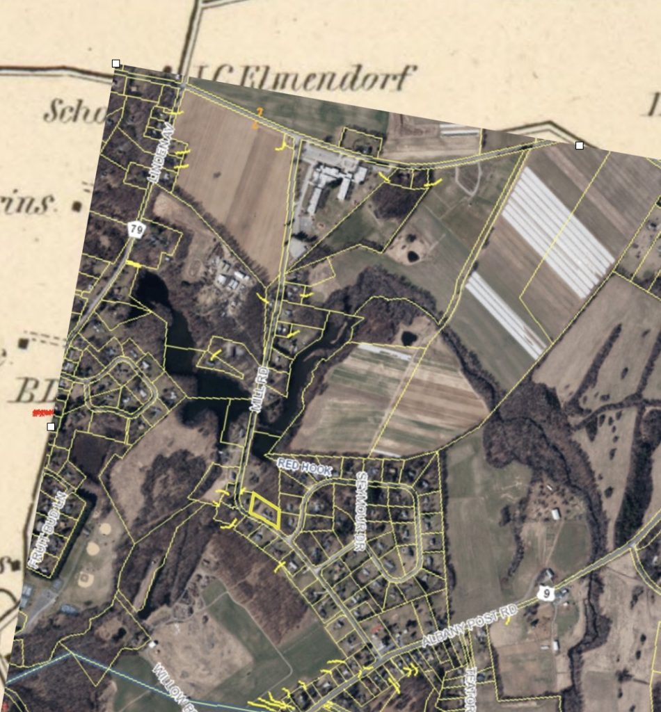
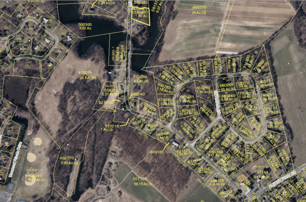
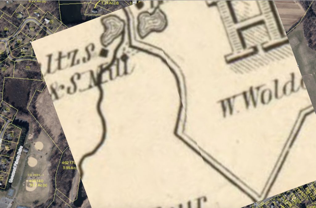
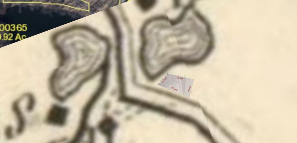
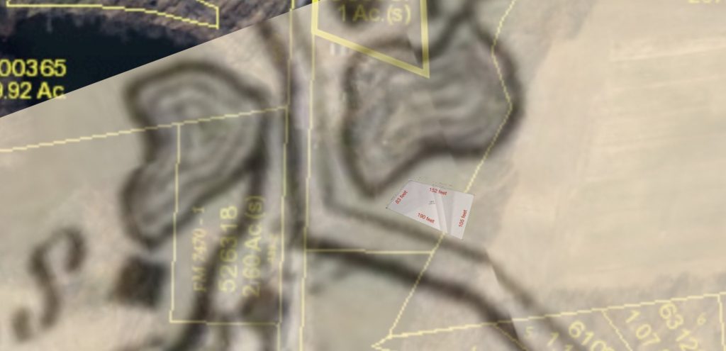
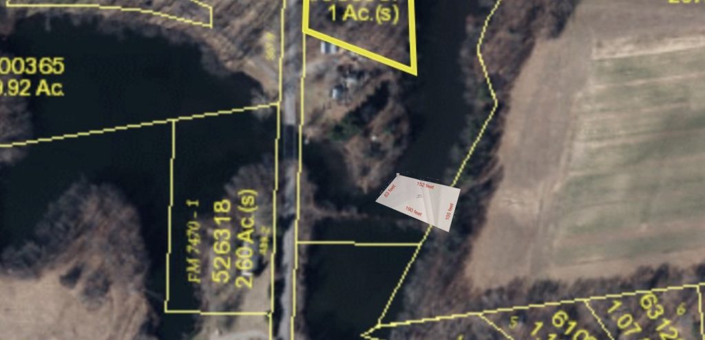
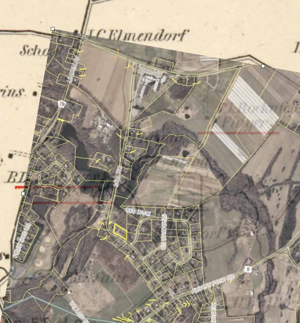
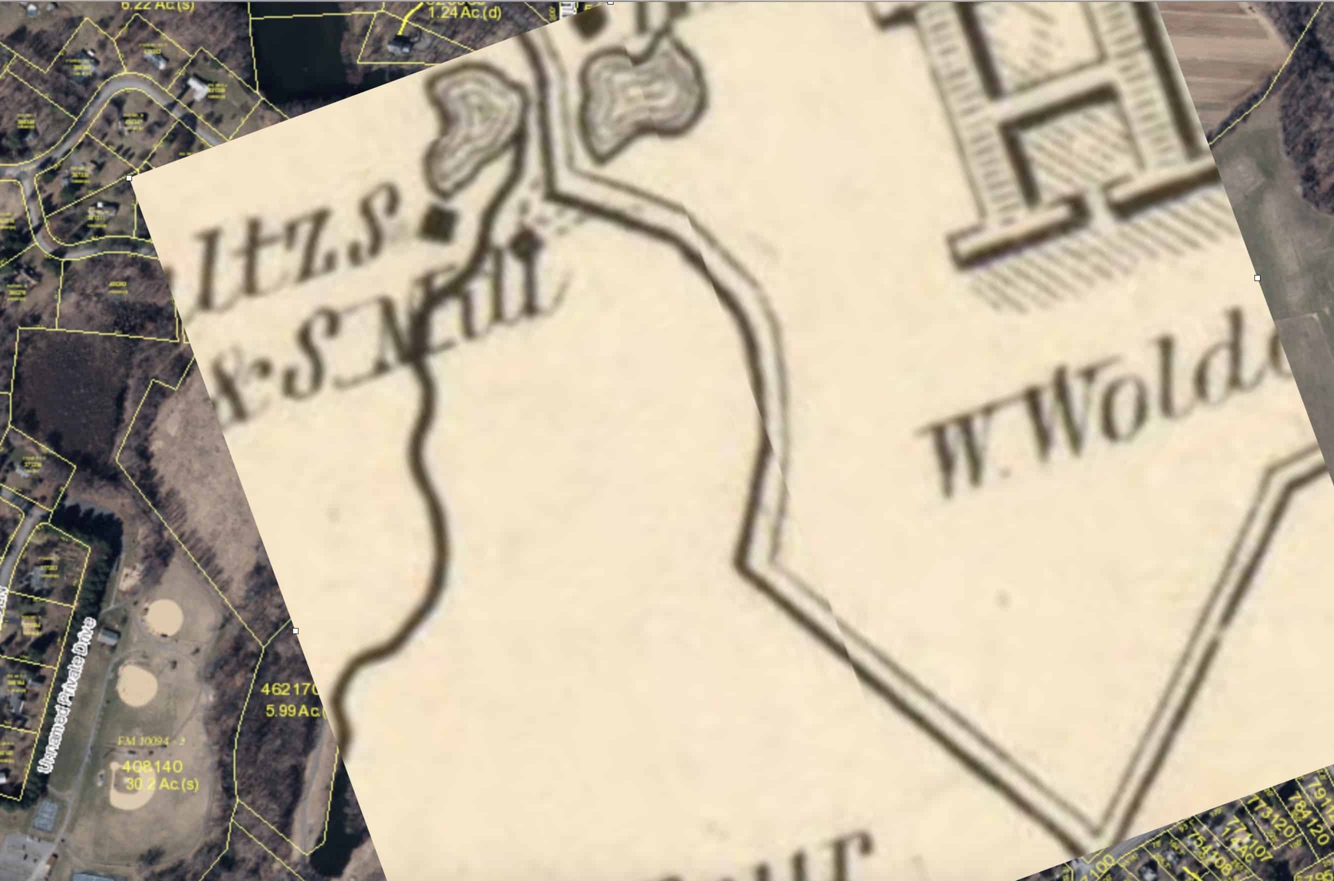
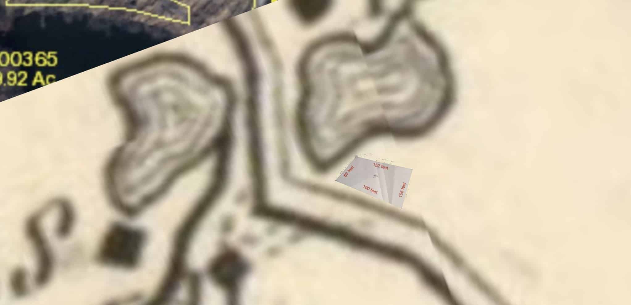
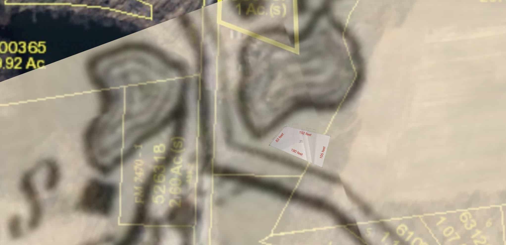
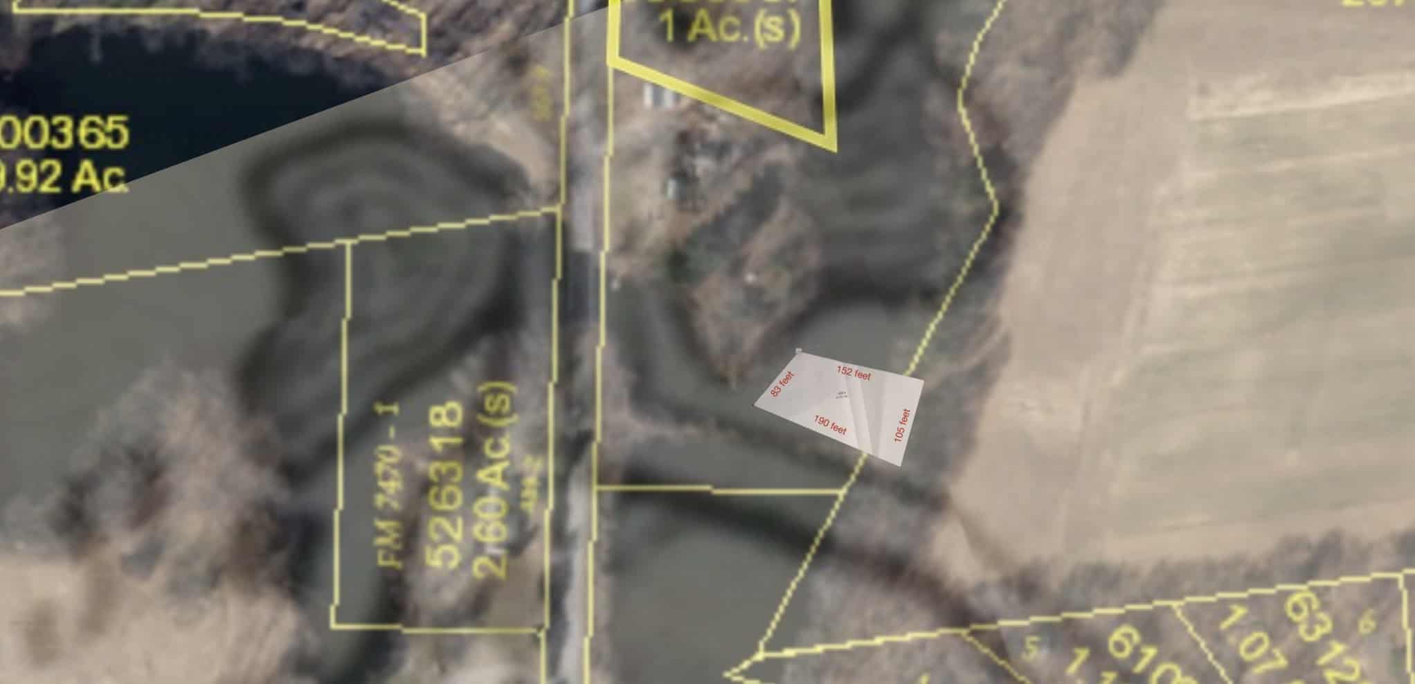
Below: This map was drawn in 2012 based on an 1849 map, showing a 1/3rd acre plot with a road to the south and a mill pond to the north. The adjacent landowners are Schultz and Elisha Fingar. Due to a change in the road, and an expansion of the mill pond to the south, the former cemetery is today under water on Mill Road.
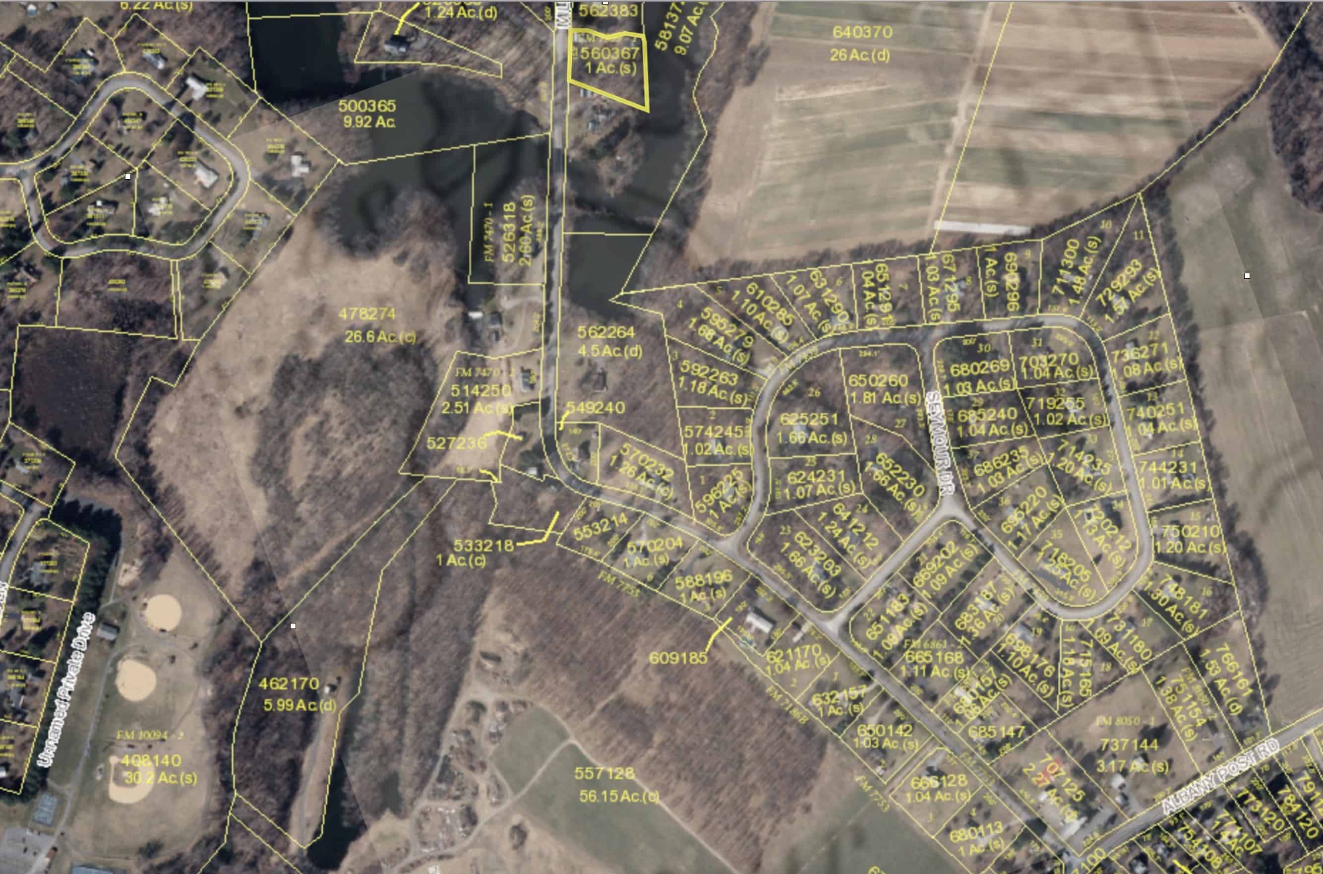
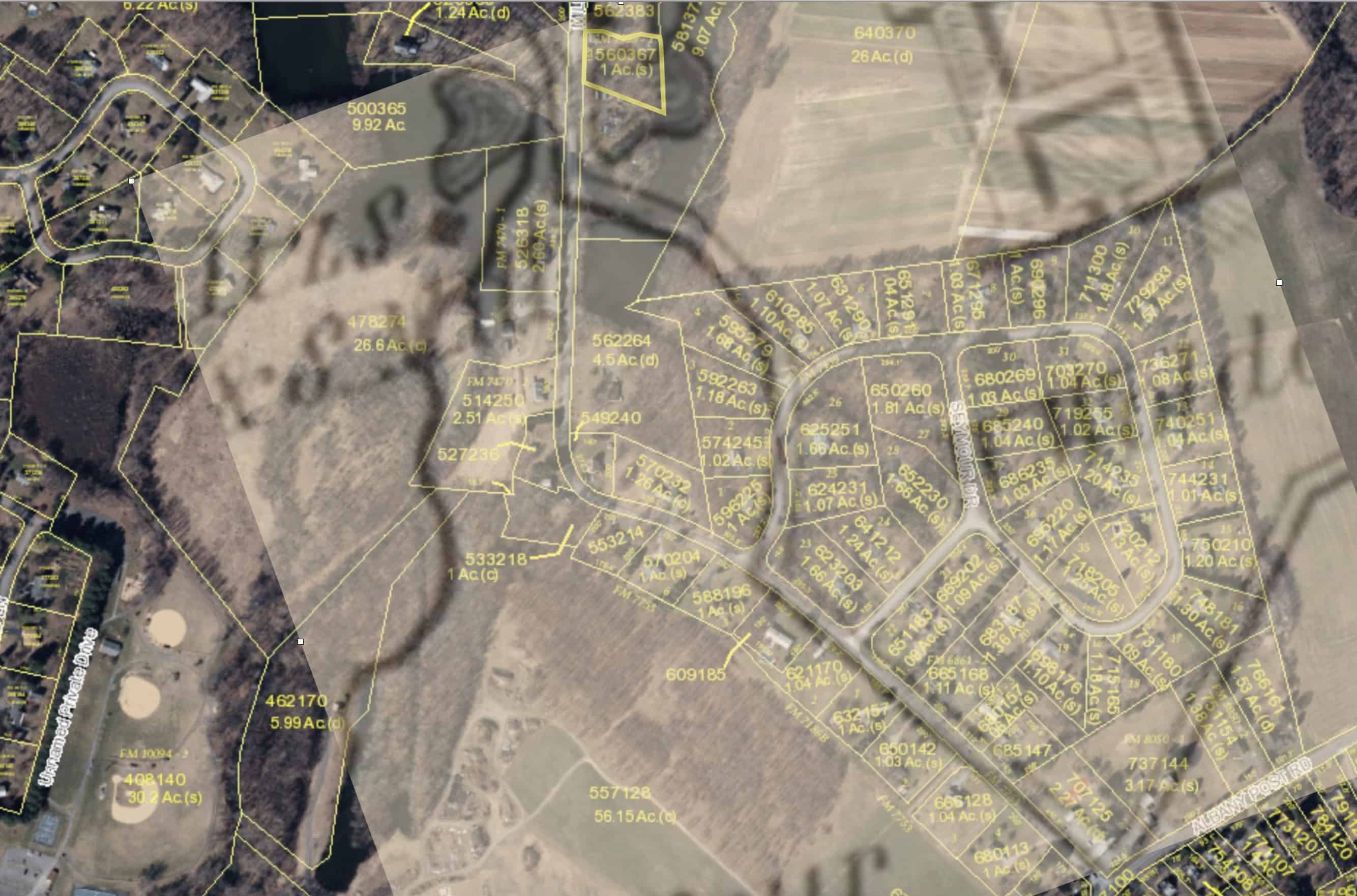
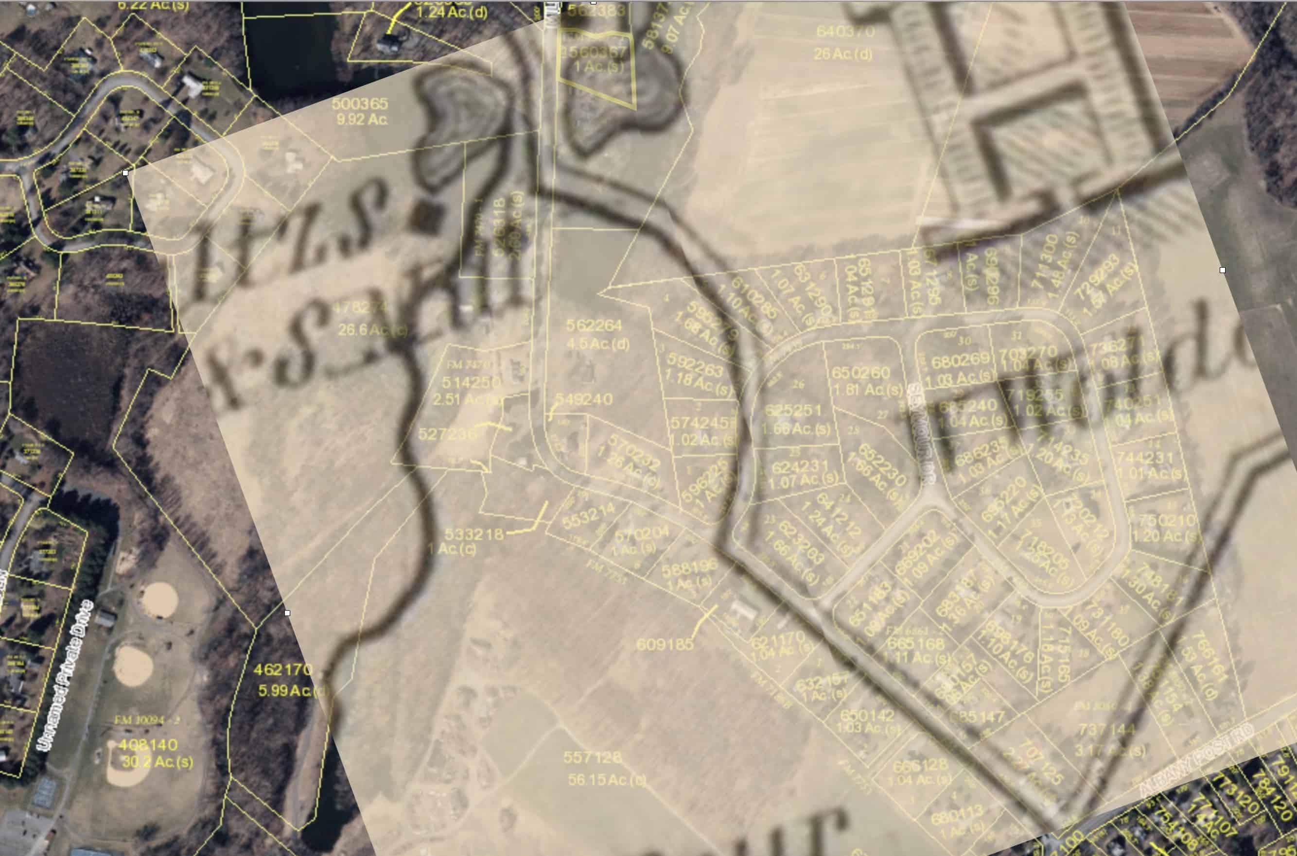
The animation below advances every 3 seconds if left alone, but you may advance or reverse with buttons below image:


A tragic means of confirmation: