Maps
18th Century Maps
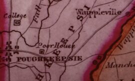
1797: Clinton, Stanford, Washington & Amenia by Jacob Smith These maps were published in the 1926 DCHS Yearbook with the handwritten index on the map more clearly typed out. The original is held at NYS Archives. More recent maps depicting Patent divisions 1744 Little Nine Partners Subdivision Reprint from Isaac Huntting’s History of Little Nine Partners, 1899. Patent Subdivision Maps
Posted in: Maps, Research & Finding Tools
Wappinger Dolph Stewart c1945
Click once ~ then once again ~ to fully enlarge.

